![]()
Background
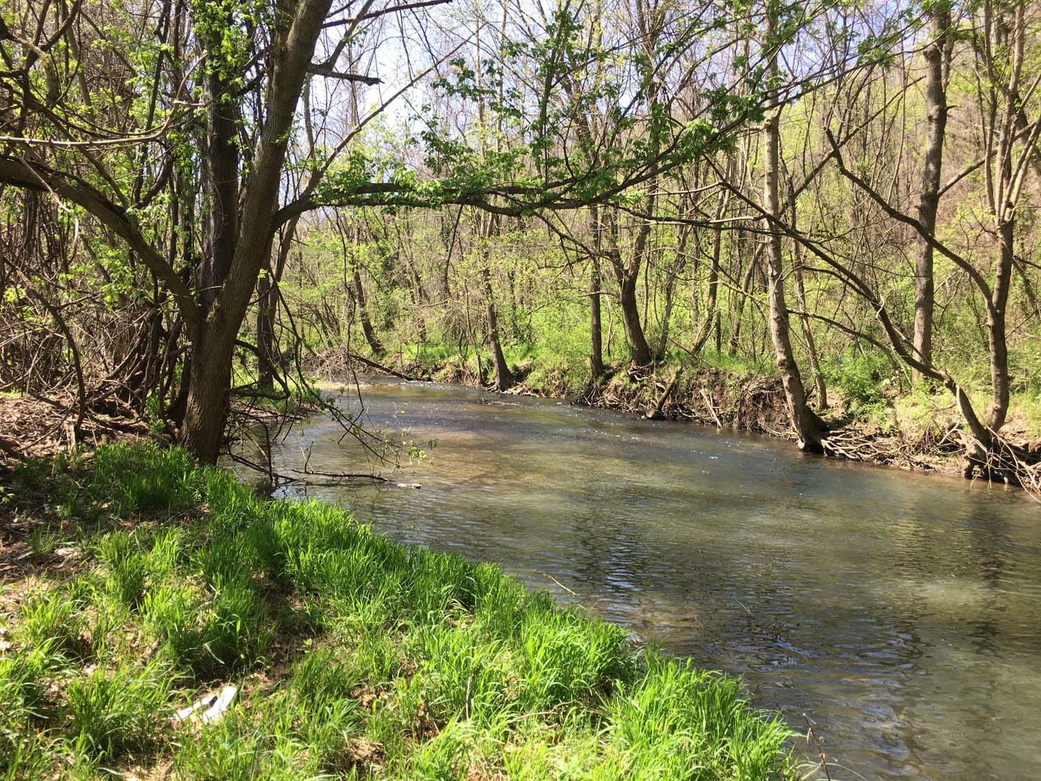
This 180-acre Superfund Site in Missouri is bisected by a small river with a manufacturing area located to the east on a floodplain, and a wooded upland area to the west. Waste disposal and associated remedial actions occurred in both areas during the 1970s. The primary contaminant of concern is dioxin. Following changes in toxicological standards for dioxin, USEPA concluded that the protectiveness of the historical remedies could not be assured and requested the Responsible Party conduct a “Protectiveness Review”.
Approach
To address the Superfund Protectiveness Review, an Administrative Order on Consent (AOC) and a complex set of work plans to promote health and safety, assure quality, and investigate soil, sediment, and groundwater were developed by Foth and approved by regulators, including to:
- Design and install bedrock wells and conducted quarterly groundwater monitoring.
- Collect over 750 sediment subsamples from over one-mile of the river.
- Collect over 5,000 soil sub samples from an 80-acre area.
- Prepare a Site GIS database to include project aerial photography and soil, sediment, and groundwater analytical data.
- Conduct direct-push groundwater sampling to delineate extent of VOC impact across a 75-acre area.
- Conduct RCRA waste management/reporting for listed and characteristic hazardous waste.
- Assist in development of communication plans and community relations.
Understanding the Superfund process, Foth provided innovative approaches to the investigation effort by applying advanced sampling and data analysis techniques, with USEPA and State approval, to reduce the level of effort and risks while providing defensible data. These included:
- In advance of field sampling activities, Foth simulated potential outcomes in impacted areas using USEPA’s Advanced Kaplan-Meier (KM) Toxicity Equivalence (TEQ) calculator. The Advanced KM methodology was also compared to an alternate Upper Confidence Limit Surface Weighted Average Concentration (UCL SWAC) proposed methodology. This modeling informed the client regarding potential outcomes and the validity of the USEPA’s Advanced KM calculator.
- Multiple statistical methods were applied to the historical and newly acquired soil data to identify statistical upper limits on contaminant concentrations. A factor analysis was incorporated to identify spatial patterns within the data, correlating concentration results to past site activities. This supported the overall interpretation of contaminant extent.
Results
Over the past year media coverage and public scrutiny has prompted a series of public interactions, hosted by USEPA. The extraordinary Superfund related work and measures taken at the Site, combined with robust data collection, analysis and reporting, have provided technically defensible data, particularly with regard to the protectiveness of historical soil remedies.
Markets: Manufacturing and Industrial Products
Services: Remediation
Related Projects


![]()
![]()
![]()
![]()
![]()