![]()
Background
City leaders in Perry, Iowa, set out to address accessibility and infrastructure planning challenges common to growing rural communities with limited staff and expanding needs. The effort began with an Americans with Disabilities Act (ADA) initiative to evaluate pedestrian ramps and sidewalk conditions using mobile LiDAR in place of time-intensive, manual field inspections.
As the project progressed, city staff recognized that the data being collected could support far more than compliance. The information opened doors for pavement condition analysis, capital improvement planning, rapid project development for funding opportunities, historic downtown documentation, and long-term growth planning. With increasing demands related to maintenance, documentation, and grant pursuits such as those tied to the Infrastructure Investment and Jobs Act, the city saw value in transforming the dataset into a comprehensive digital twin. This approach centralized infrastructure information, reduced ongoing fieldwork, and provided a flexible planning tool for both current and future needs.
Approach
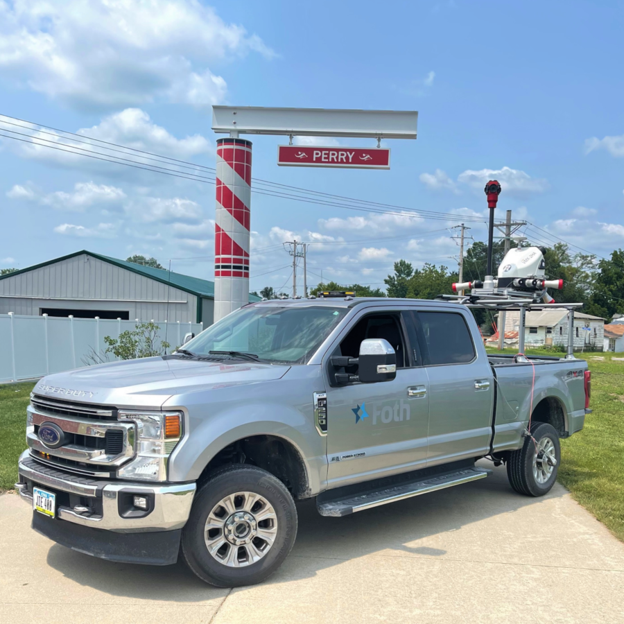
Our team developed a citywide digital twin by scanning more than 60 miles of streets and approximately 10 miles of alleys, marking a first-of-its-kind effort for a rural Iowa community. Using a Riegl VMX-2HA mobile LiDAR system, survey-grade data was collected at normal driving speeds, allowing the full transportation network to be captured in roughly one and a half days.
Prior to data collection, efficient routes were planned and sensors configured to capture dense point clouds, high-resolution imagery, pavement views, and panoramic photography. A mobile command center supported on-site data backup, initial processing, and quality control checks to confirm full coverage of city roadways and alleys.
Following collection, raw LiDAR files were processed using Riegl software to reference, filter, colorize, and publish point clouds. Data was imported into MicroStation and OpenRoads, with TopoDOT used for asset extraction, surface modeling, and pavement condition analysis. To support collaboration and long-term usability, the finalized digital twin was published through TopoShare, allowing city staff and project partners to access and manage data without the need for specialized software or repeated site visits.
Results
The completed digital twin provides Perry with a lasting, data-rich record of its transportation and infrastructure assets. The City anticipates completing capital improvement plans approximately 60 percent faster, with grant application and documentation efforts improving by an estimated 75 percent due to quicker access to reliable data.
The project produced more than 4.1 terabytes of raw LiDAR data, which was refined into a 524-gigabyte colorized point cloud, along with hundreds of thousands of digital images and more than 140 panoramic datasets to support asset inventories, pavement analysis, and virtual site reviews. In total, the digital twin documents an estimated $598 million in infrastructure assets, providing a long-term planning resource that supports accessibility, maintenance, growth, and future technology integration.
“Our team is excited to continue applying this technology in new, transformative ways to add value to our community as we become one of the first digitally-mapped cities in the Midwest.” – Sven Peterson, City Administrator


Markets: Municipalities
Services: Geospatial and Geophysical, Technology
Related Projects


![]()
![]()
![]()
![]()
![]()