Background
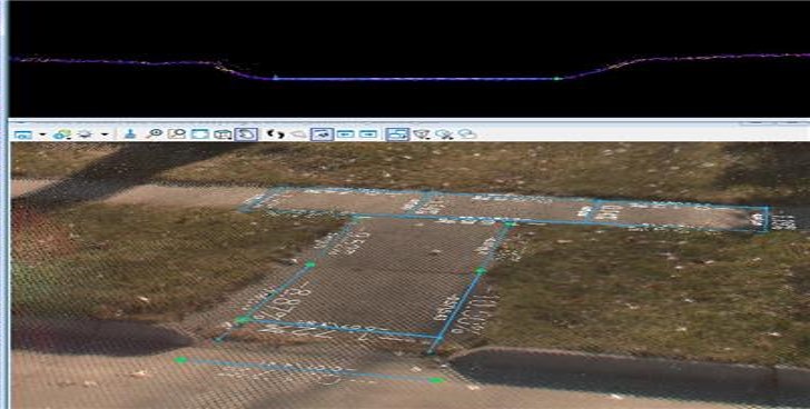
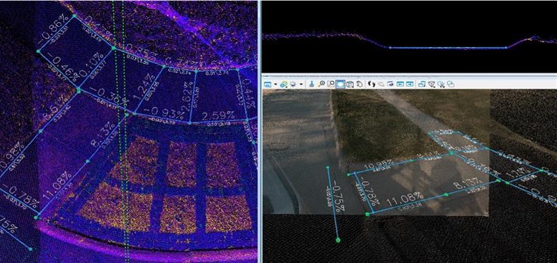
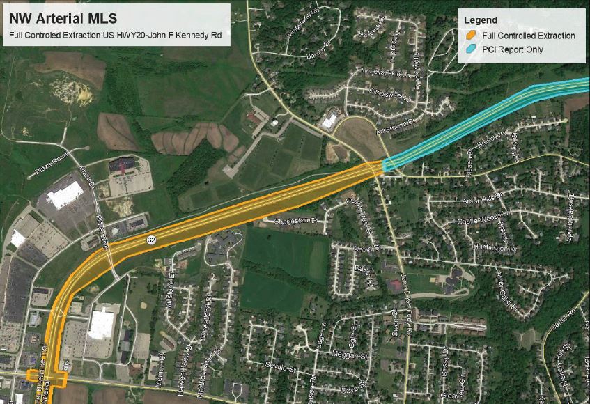
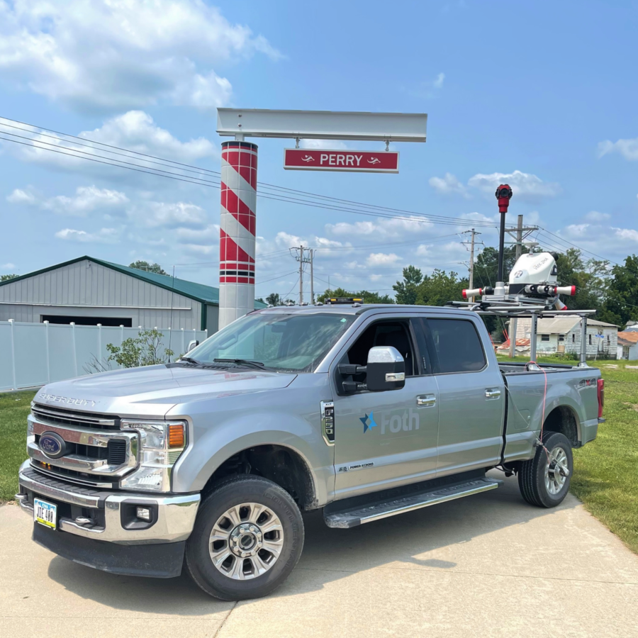
As part of our on-call contract with the Iowa Department of Transportation (IaDOT), our Mobile LiDAR Scanning (MLS) team scanned multiple towns across Iowa in order to better assist with the evaluation of ADA compliancy and assist with preparation of future transition plans. Often, these plans require identification of physical obstacles that limit accessibility, descriptions of anticipated methods to remedy noted issues, as well as public involvement and community awareness.
Approach
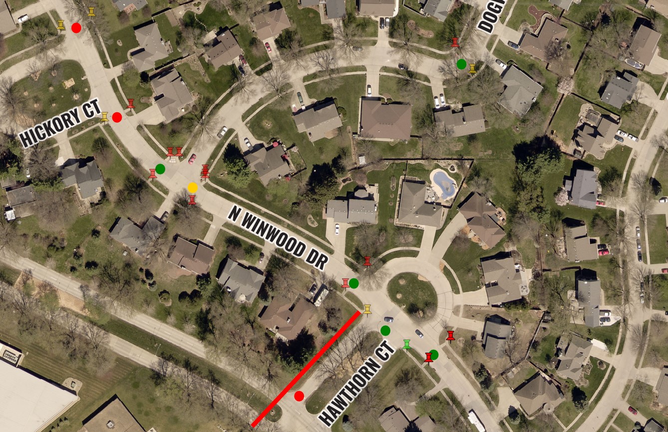
Supporting ADA transition plans and compliancy efforts, our team provided extracted MLS data for the following communities: Albia, Bellevue, Bloomfield, Corning, Euclid Drive in Des Moines, Fairbank, Highway 69 in Ames, Lamoni, LeClaire, Monticello, Nichols, Northwood, Onawa, Pocahontas, Rolfe, and Wyoming, IA
Results
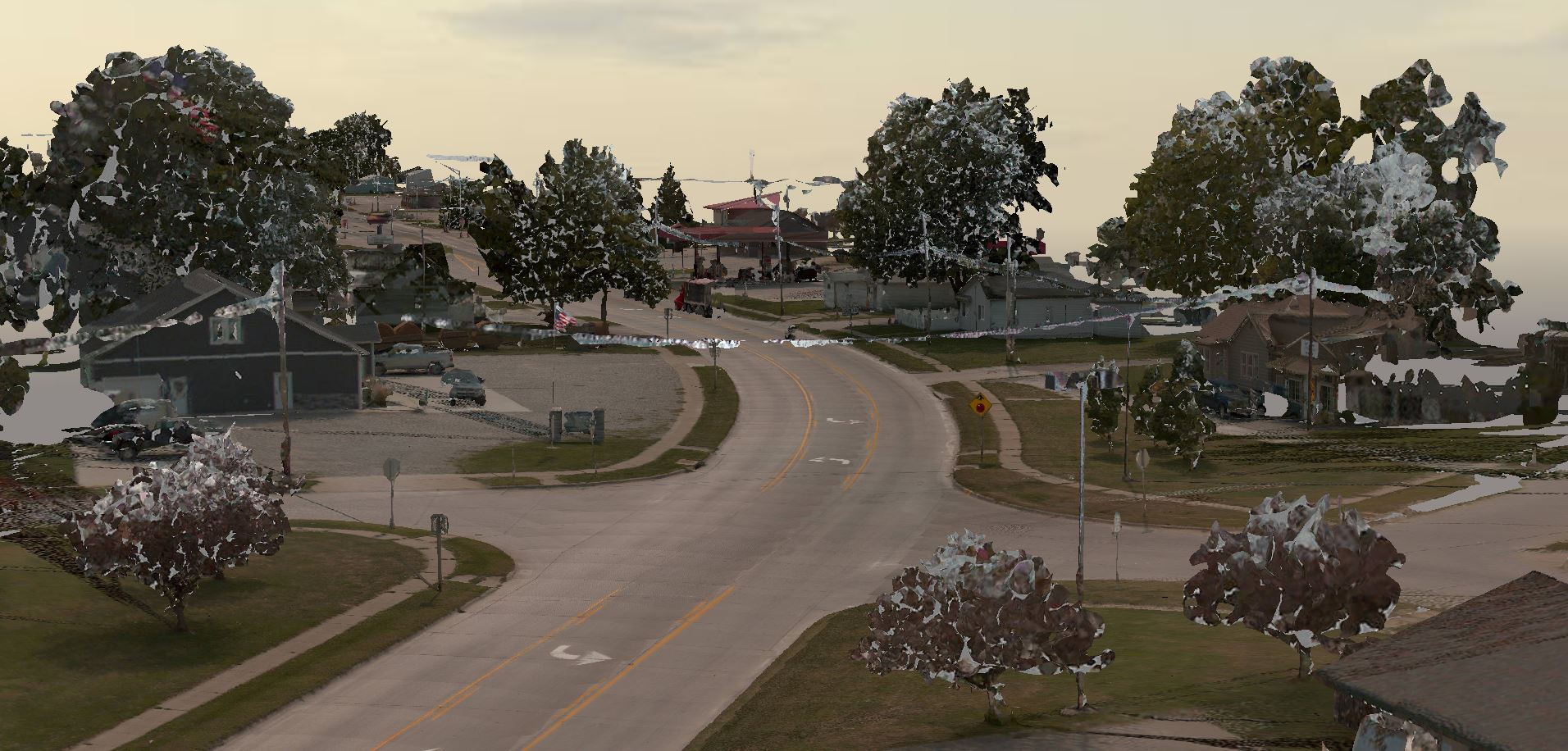
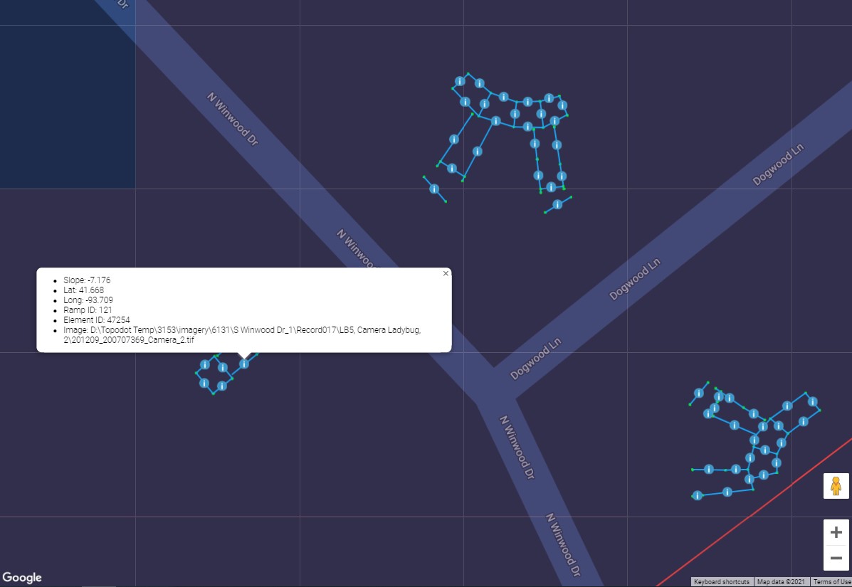
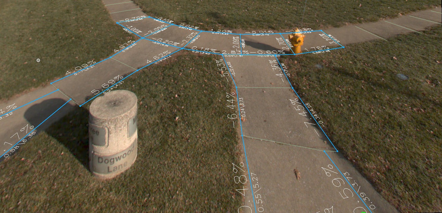
As a result, the IaDOT was provided detailed point-cloud data including precise curb and ramp measurements and even 3D models, such as this for Albia.
Markets: Municipalities
Services: Geospatial and Geophysical

