![]()
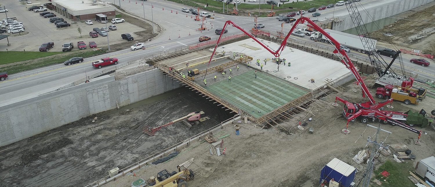
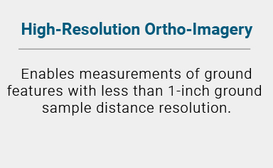
From coast to coast, we offer clients high-resolution site imagery for transportation, utility, and environmental site projects via modern sUAS (small unmanned aerial system) technologies. Acquiring data with high-accuracy orthorectified imagery offers clearer perspective—and more detailed project site depictions, change analyses, consideration assessments, and opportunity identifications.
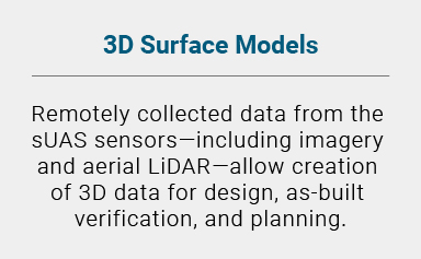
Details gathered from GNSS, high-precision optical sensors, static and mobile LiDAR, and sUAS technology are woven together to create 3D surfaces. These surfaces are key to obtaining volumetric calculations, confirming adherence to construction layout regulations, monitoring settlement and materials, and creating as-built maps.
Simply stated, Foth’s aerial mapping and sUAS provide:


 Cell and Terminal Extension")


![]()
![]()
![]()
![]()
![]()