![]()
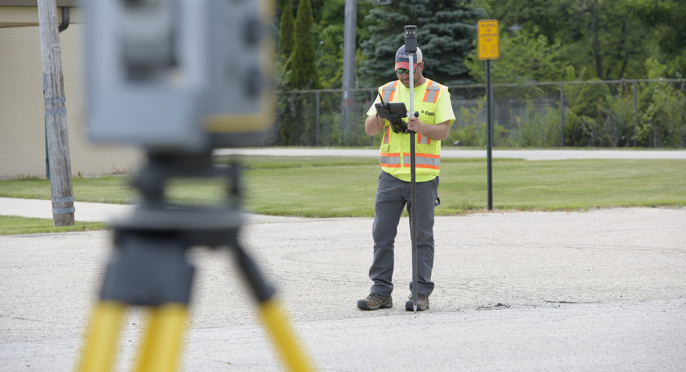
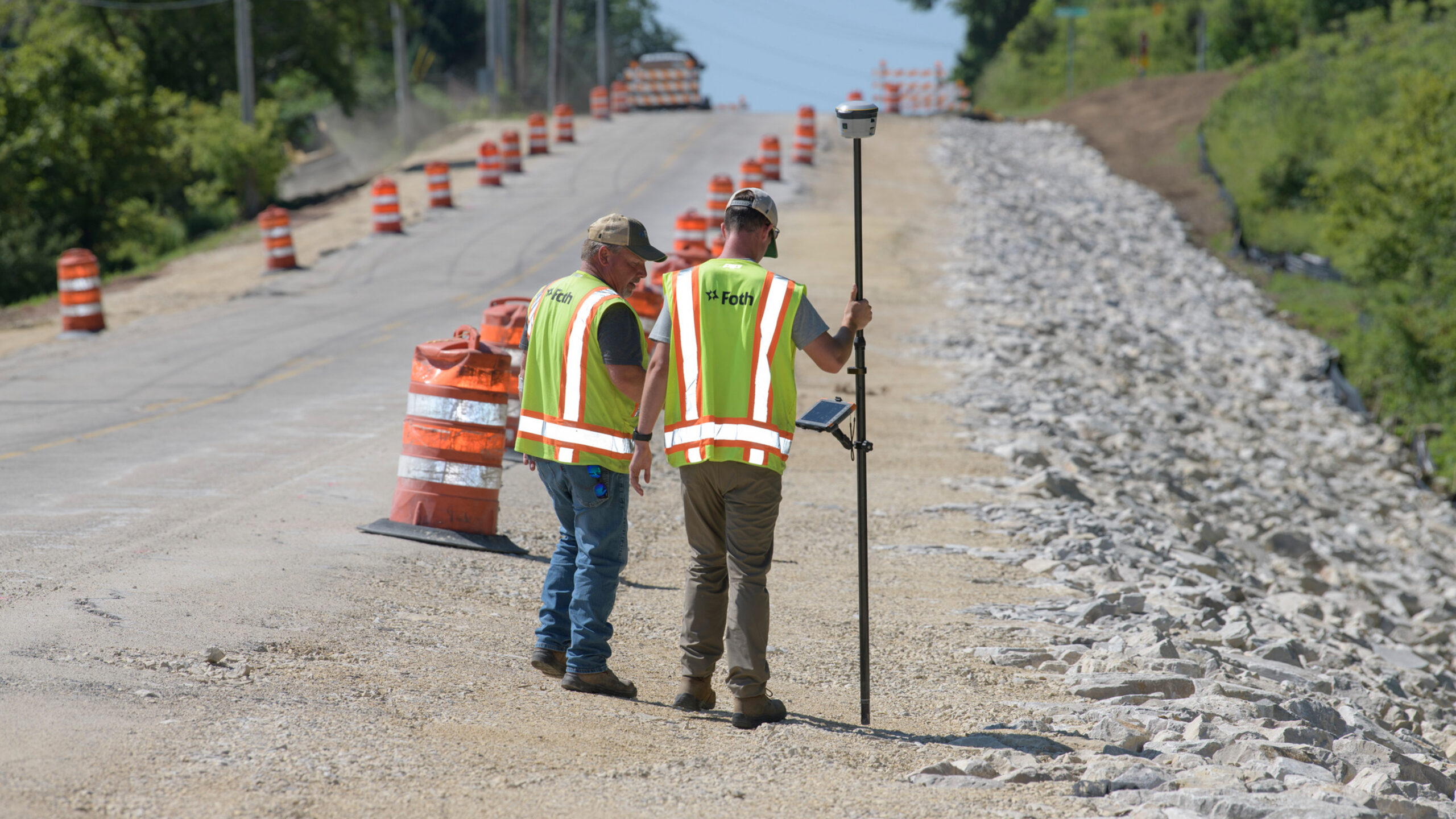
Making secure, informed decisions brings feelings of content and relief—imagine having that experience in relation to your next project. Our team of geospatial experts relies on leading technologies, industry standards, and traditional methods to deliver accurate, reliable data collection. By combining in-depth project evaluation with tailored tools and practices, we support projects of all types from foundational design efforts through completed construction.

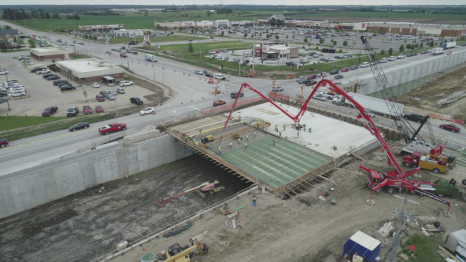
Aerial Mapping and Imagery | sUAS
- High-Resolution Ortho-Imagery
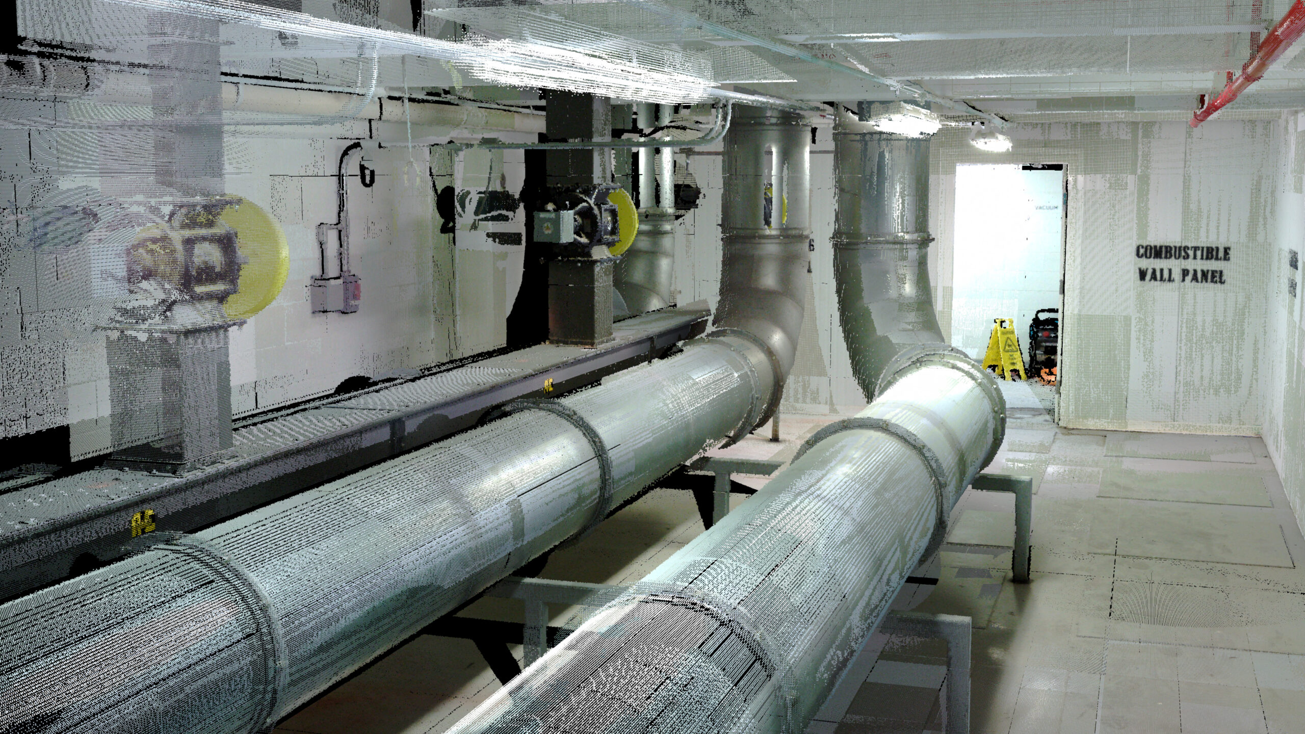
- 3D Surface Models
- Progress Monitoring

Projects
Read more about Foth’s geospatial and geophysical work.
 Cell and Terminal Extension")


Contact Us
Contact us today to learn more about partnering with Foth on your next geospatial and geophysical project.
![]()
![]()
![]()
![]()
![]()